GeoRisco3D
← Back to PortfolioGeoRisco3D - Geological and Geotechnical Monitoring System is a Java project created by Tecgraf’s Distributed Systems Engineering group, which is based on the Java Web Start Technology, built over CSBASE framework. Therefore, Georisco inherits these characteristics: client/server architecture, web-based, algorithm’s resources management, and executions in a distributed heterogeneous environment.
Georisco has two main objectives. Firstly, the storage of the data captured from geotechnical instruments distributed over the pipe locations, evaluating the risks such as sliding, fracture among others. Secondly, the consolidation and visualisation of the data from any period of time from the mesh of pipes.
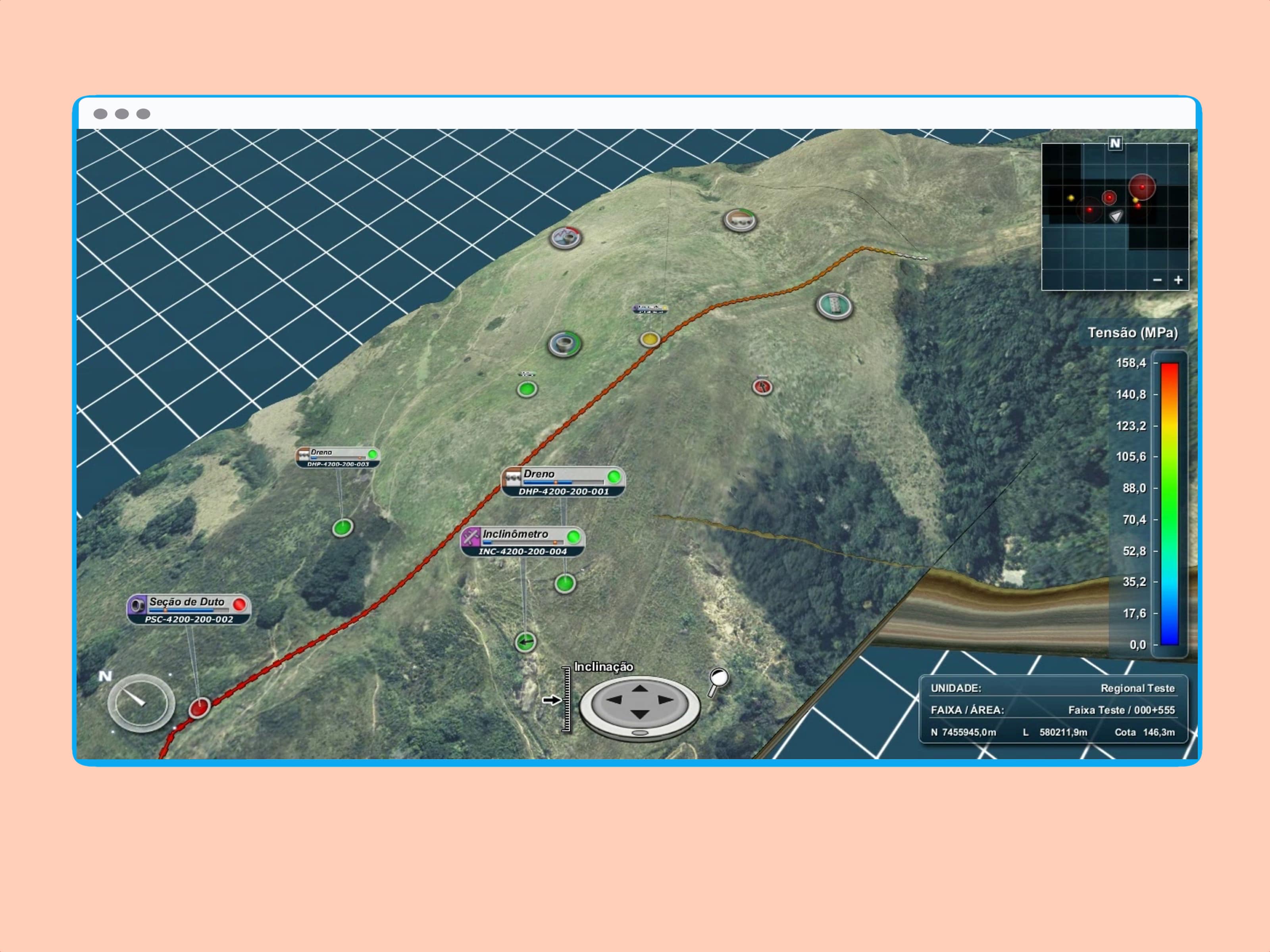
This project, called Georisco3D, is a visualisation tool developed by the Tecgraf’s Visualisation and Reservoirs group. It was created to help the original Georisco illustrate its gathered data.
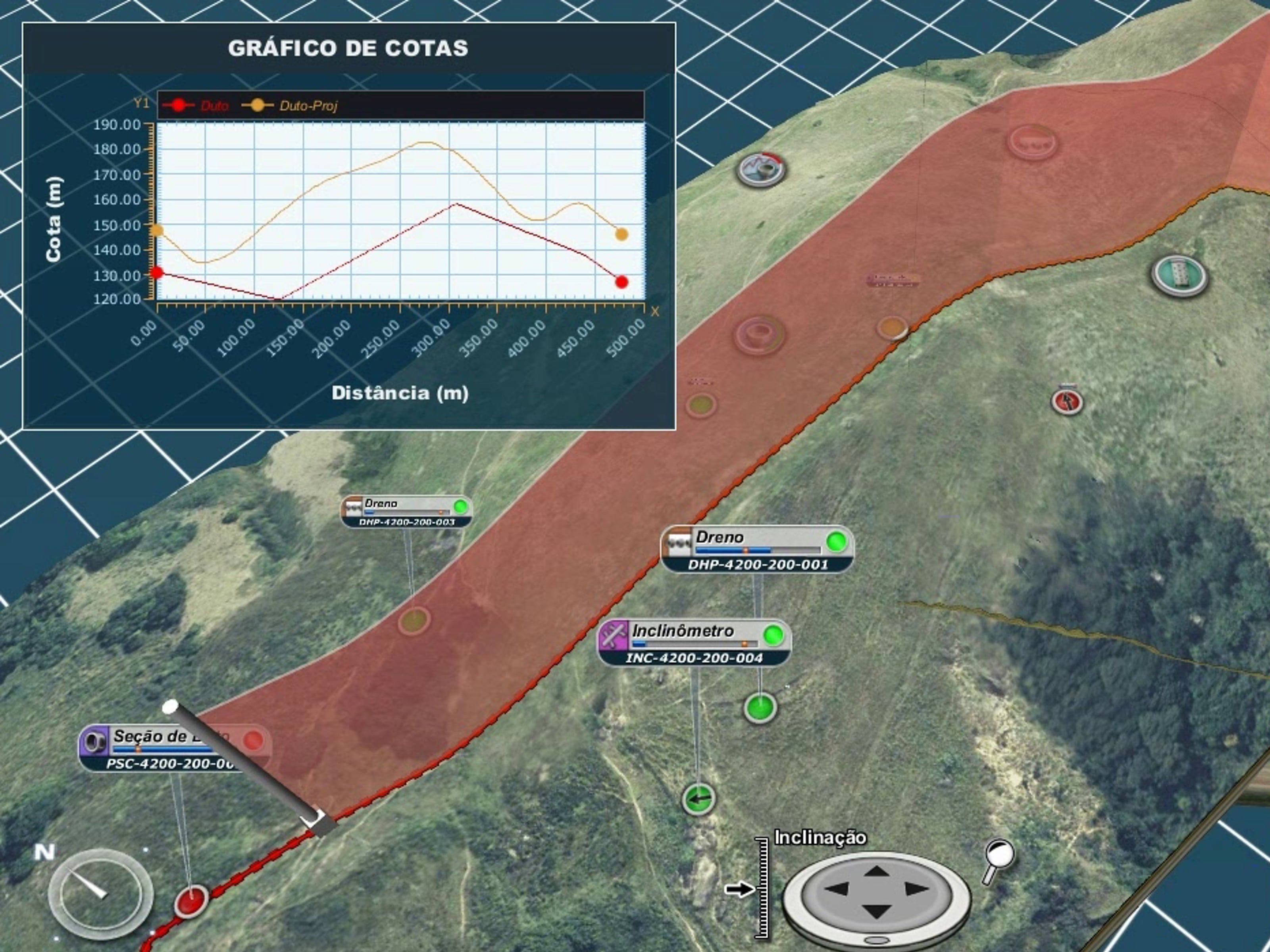
Georisco3D is capable of exhibiting the terrain mesh, and the pipes along it. It’s possible to interact with all the geotechnical instruments placed near the surface and pipes, reading information such as tensions, rainfall, slope, drain, etc.
Application main features:
- Terrain geometry multi-resolution
- Terrain texture multi-resolution
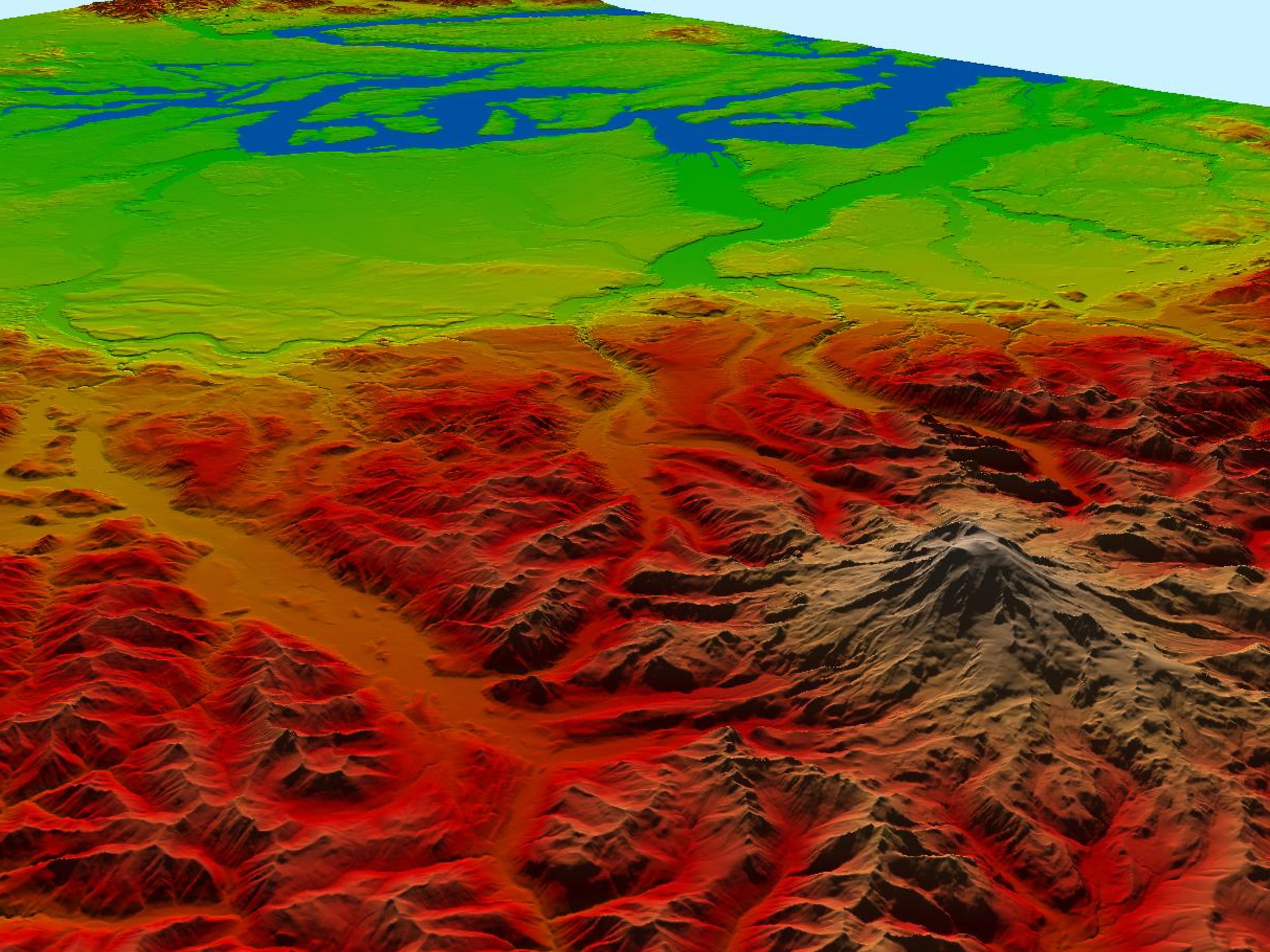
- Realtime photorealistic large terrain rendering
- Realtime declivity field visualisation of large terrain
- Ability to display cross sections
- Sub-surfaces interpolation and visualisation
- Intuitive navigation and model direct manipulation
Role Information:
My role in this project was as a Software Engineer, my participation was though July/2010 to July/2011. In a small team, I was responsible to develop new functionalities and helps at the software integration.
This 3D visualisation tool was made as a dynamic library (DLL) in C++, being able to interact in real time with the Georisco Java Software. The greatest challenge in this project was the integration between Java/C++ via JNI, and also the visualisation of huge amounts of terrain data in real time using adaptive LOD algorithms.


